
Yes, it could not just be all fun and games every day, something needed to happen to keep old Murphy happy. Our little group are sleeping 60km apart tonight, but that distance Proff Google tells us will take 2 hours and 2 minutes. Today the navigation was a nightmare, and we had no cell phone signal for the entire day, only when we rode into San Luis at 14h00 did we get signal. But more about the little “mis-hap” later.
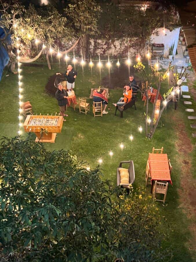
The hotel last night had a fire pit and we burnt all their tomato-case-planks and pallets and sat around the fire pit until our meal, a choice of 5 dishes arrived and we sat around the fire and ate our meal, we were in high spirits about the route we were going to do the following day, it was going to be the highlight of Peru, and it was, until it went wrong.

This morning we had breakfast and left, I had my music on and was expecting a gravel road and some passes later, but exactly 6 minutes into the ride I dropped the bike as the Hair-pins started in town, and it was a steep climb out of town on our road, and when it is steep you need to “Feather” the clutch to keep the revs up as you can’t just open the throttle as it will spin the back wheel, with my music playing I could not hear the bike’s motor and did not get the feathering right. Before DadAss was picked up there had to be a photo taken. Millsy also drop his bike later in the day and I suspect there was another “fall-over” but communication with the other group is difficult at this stage.

Then we continued to the Huascaran National Park where a local was selling Coca Leaves (for chewing.) We declined, which was maybe a mistake as the day just got harder as it progressed.
Pie got a local lady to pose with him for a photo, he has a very irresistible smile.


Then we rode into the park, not knowing what to expect, we knew we were going to see all the snow-capped mountains, ( Huascaran is the highest mountain, around 6780m, the highest in Peru, and a few other mountains around it) but wow, what a surprise, it was like Norway, but without their tar road.
When we got to the lake some of us went for a swim.
See video below, click on the link
ae657691-8f52-4439-a3b6-77e77fc8d207
We rode up the longest and steepest pass I have ever ridden, it was switch-back after another switch-back, for more than an hour, up to 4710m high. My bike was struggling with reduced power and I was short of breath and had a huge headache from the altitude, I started feeling nauseous, and then it was the same going down, still in 1st gear, switch-back after switch-back.
Here are some of todays photos, but I could have posted so much more if our hotel had Wi-Fi, but unfortunately the town we were forced to stay in is very small and only had a choice of one hotel.


See video below, taken at the top of the Pass


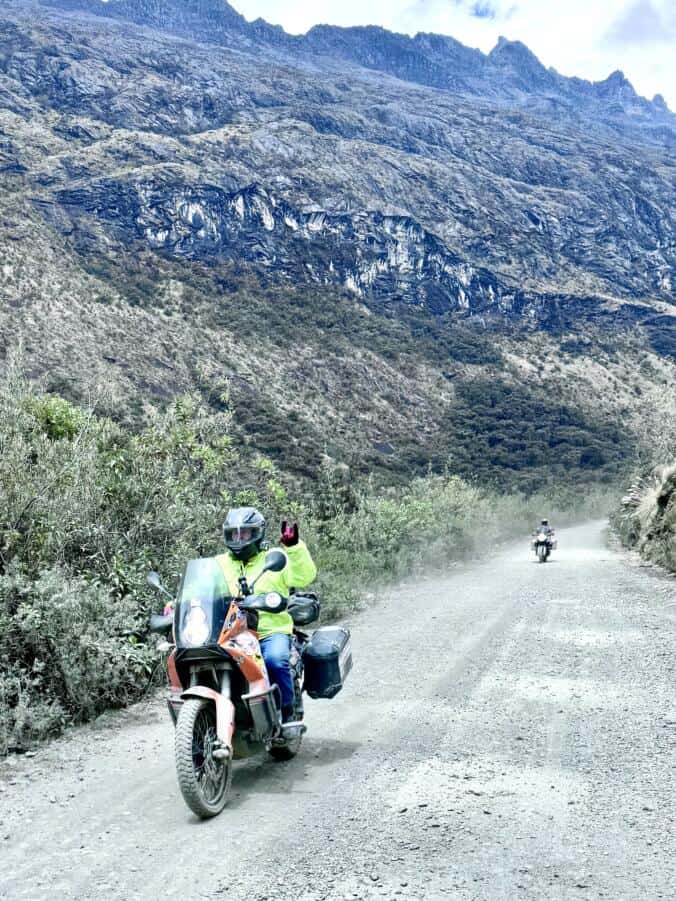


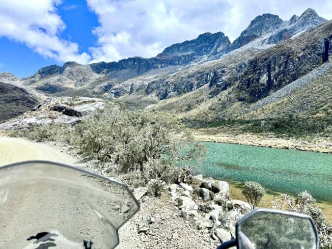


There were another few mountains opposite these two, so after every switch-back we had a different spectacular view. I kept on looking for places to stop to take photos and that was dangerous, even just glancing down at your GPS to see how high you were was dangerous as that split second your eyes were off the road you lose your line or the option to choose a different line, or avoid a rock etc. I had a few “Oh my golly” moments and eventually stopped more often to look at the breathtaking scenery instead of trying to do so while riding.


The problem with using Google Maps on your phone as your only Navigation Tool is flawed, and not easy, yes, you might download the route and Start the route from the hotel on their wi-fi, and it will work just fine as long as you pass every way-point you put along the route. But like today, a little village was put in as a point on the route and we did not drive into the village to clear it. Usually one can cancel the point on Google Maps by clicking on the point you missed, but you need cell phone signal to cancel that way-point, and today we had no signal, the entire day. Millsy and I both had a Garmin GPS showing the route, but the rest of the group was without navigation.
Danny-Boy and I hung back to help Rocky who was in the Rally Car (who was not so equipped for todays roads apart from being a Hired Car,) and stopped at every split in the road and waited for him to make sure he was on the right track, but the others were with Millsy and never waited to re-group. There was one specific spot where the road turned down, but at the outer side of the hairpin there was a water trench filled with rocks, I followed the road and saw I was off route, so I made a U-Turn and then Danny, Rocky and I continued along the side of the mountain and did not turn down to the village on the bigger more obvious road. We suspected the others went wrong there when we arrived in the town and did not find the others having lunch, as it was 14h00, or maybe eating ice-cream, but we could not find them and then decided to wait as they might have made a navigation error and was on a longer loop than we followed to this town. We waited for 2 hours thinking the worst might have happened. There was no communication between us and we eventually made a call at 16h00 to book hotel rooms as our friends probably had a broken bike and was going to arrive late, but, they had just pushed on without re-grouping and were in our final destination, 60km head, (2 hours.) So by the time we heard they were ahead we had already found a hotel, and the rain clouds were gathering. So tonight we sleep in separate towns. I feel sorry for Peens who removed his Panniers the minute the Rally Car Danny hired arrived as tonight he has no toiletry bag, clean socks or underwear.
I will add some of todays photos tomorrow when we sleep in a real town with real hotels and real wi-fi.
Regards
Fleisch
Leave a Reply